This month, the three witnesses helped us to think about the kinds of data sets we can use to look at land use and land use change and links between these and policy implementation.
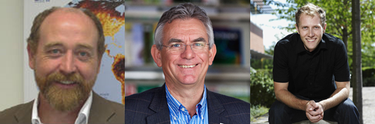
Dr Alan Belward, the Head of the Land Resource Management Unit at the EC Joint Research Council (JRC) Institute for Environment and Sustainability (IES)came over from in Ispra, Italy. He joined Dr Lucas Joppa from Microsoft Research, now based in Redmond, and Dr Jon Hutton, the Director of the United Nations Environment Programme World Conservation Monitoring Centre (UNEP-WCMC) in Cambridge.
To help to set the scene for their introductions, they sent us some background papers, websites and articles and you can see links to them on the right.
Research gaps
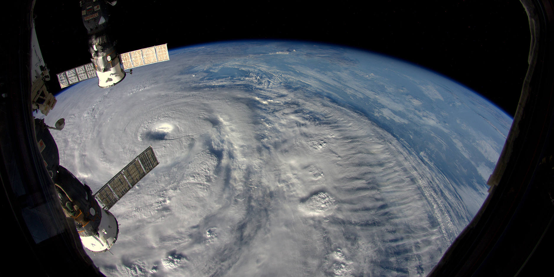
Alan began his introduction by highlighting the rapid advances in remote sensing technology driven by the democratization of space, increased resolution of satellite images (from 80 m to 30 cm) and free and full access to satellite data archives. These open up for new possibilities of research and mean that we have huge capability to obtain high resolution data. However, our ability to understand change on a global scale is still limited and he identified the three main gaps in our knowledge related to land use and land use change: the nature of land cover, the nature of land use, and the nature of land ownership.
He added after the meeting that finding common ground between the observation and reporting standards of the three Rio Conventions - on Biodiversity, Climate Change and Desertification - would be hugely beneficial. Identifying commonality between them will help to both determine the observations needed and to make policy links between biodiversity loss, desertification and climate change.
Lucas focused on land ownership and difficulties associated with finding out who 'owns' a plot of land and who has rights to use it. Very high resolution satellite image acquisitions provides some information about land use but in order to be able to understand the processes at work, physical data needs to be connected to human/ social/ institutional data. Finding ways to bring satellite data together with data from the ground, including characteristics of the land – soil type, climate, geographical features and ecology - and land tenure will provide a much more comprehensive picture of how land is being used now and in the future.
Jon gave an overview of the challenges of collecting and interpreting remote sensing data in the specific context of biodiversity preservation. He argued that as habitat loss is the main driver for the loss of biodiversity in all (terrestrial) biomes, an understanding of changing land uses is imperative. He stressed that even though new technology, such as the instruments being used by the Copernicus Programme’s Sentinel satellites, will allow us to measure future changes, our ability to quickly and effectively measure land use change is lacking. This is both because land use change outpaces our data collection and processing but also because we do not have an efficient and holistic approach for conducting retrospective analyses.
Wicked problems and questions generated by the open discussion
So many countries and companies are launching environmental satellites that harmonising and calibrating the data between them is very challenging. One risk is that some of the changes we are looking for are very small and calibration problems may make those changes impossible to detect.
A lot of the information we need to know about land use change and climate change is fairly mundane and the cutting edge research attractive to academics (who need intellectual incentives) and companies (who need financial incentives). Who is going to do this boring but important research and who will fund it?
How can we make sure that that the ‘haystacks’ of data being collected is turned into something that can be measured or modelled, and contributes to both into policy and action on the ground?
How can we enable ‘cross-mapping’ between different mapping projects, such as between biodiversity mapping and land use, and ensure that data is collected consistently?
How do we manage large data flows and how do we deal with the fact that many globally, existing datasets are not uniform?
What data are missing and what can we do now to lay the foundations for collecting it in the future?
References for background reading
Belward, A.S. & Skøien, J. O. (2014). Who launched what, when and why; trends in global land-cover observation capacity from civilian earth observation satellites. LSPRS Journal of Photogrammetry and Remote Sensing, published online: http://www.sciencedirect.com/science/article/pii/S0924271614000720
Belward, A.S. (2014). Running out of land. The Biologist, 61,3, 28-32
Arezki, R., Deininger, K. & Harris, S. (2012) The Global Land Rush. Finance and Development, 49, 46-49.
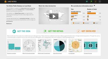
The land matrix website: http://www.landmatrix.org/en/
Loarie, S. R., Joppa, L.N. & Pimm, S. L. (2008). Satellites miss environmental priorities. Trends in Ecology & Evolution, 23, 183-184.
For more information about the Forum or this meeting, please contact Dr Rosamunde Almond (r.almond@damtp.cam.ac.uk)